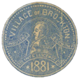
Uncovering the history of a lost Toronto village.
This project is about rediscovering 19th-century Brockton through maps, archives, and overlooked histories, and exploring the forces that transformed Indigenous land into a British imperial holding, market gardens, and eventually, a dense urban neighbourhood. Brockton’s story is one of dispossession, migration, speculation, and transformation, reflecting the larger forces that shaped Toronto into the city it is today.
Start Exploring Brockton’s Past
-
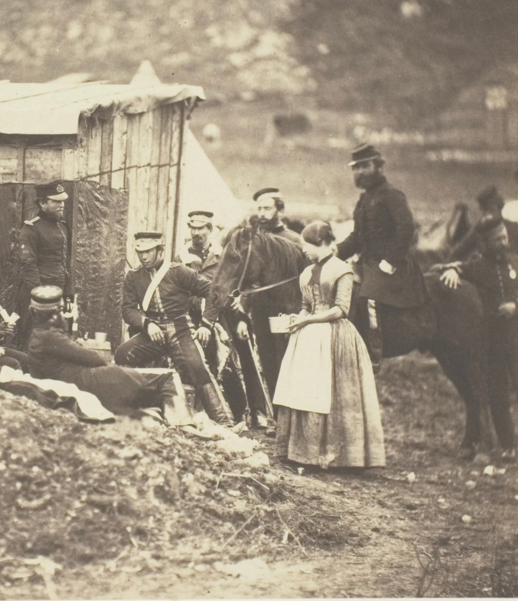
A Road Cut in Crisis: Dundas Street and the War of 1812
Today, the memory of the War of 1812 in Toronto us usually reduced to a few prominent landmarks like Fort York. But the war left a deeper mark on the… Read more ⇢
-
Dundas or Davenport? The Mysterious Origins of Toronto’s First Great Western Road
Before it was a straight line on a map, Dundas Street was an idea, a colonial vision of connection across Upper Canada. But through west Toronto, that “great western road”… Read more ⇢
-
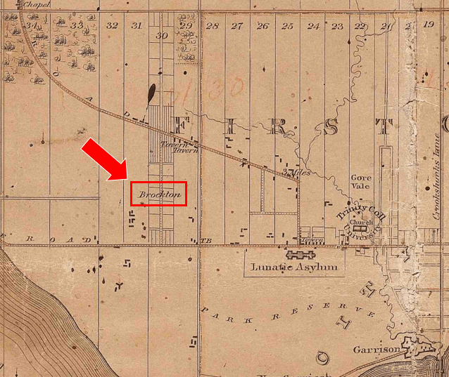
Lady Brock’s Land: Park Lot 30 and the Making of Brockton
In the spring of 1812, James Madison, President of the United States, was under pressure to deal with British meddling in American affairs and a rising clamour from Congress for… Read more ⇢
-
Who Got the Land? Reading Land Petitions from Brockton, Toronto (1796-1812)
What did it take to get land in Brockton over 200 years ago? This post explores the original petitions submitted by the area’s first settlers, soldiers, widows, and government insiders… Read more ⇢

-
The Sheriff, Secretary, Commander, Widow, and Father-in-Law
Brockton’s First Land Owners In the summer of 1793, John Graves Simcoe arrived in Toronto determined to establish his new capital on the remote northern shores of Lake Ontario. He… Read more ⇢

-
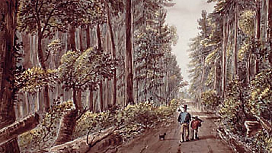
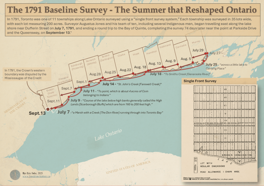
Making Indigenous Land into British Property: The 1791 Survey That Shaped Ontario and Brockton
In 1791, surveyor Augustus Jones carved a straight line through forests and creeks to mark out new townships along Lake Ontario. His work transformed Indigenous land into British property, laying… Read more ⇢
-
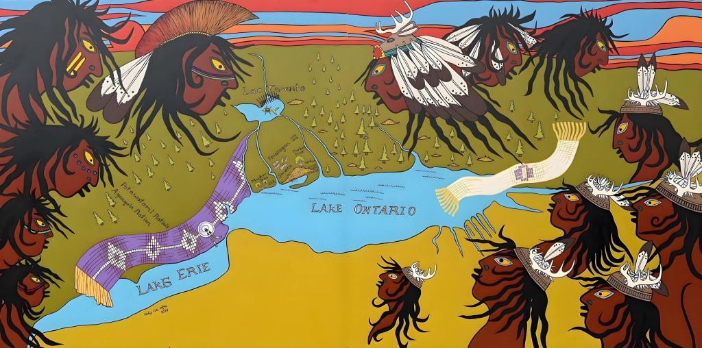
On Indigenous Land – Connecting Brockton’s Past and Present through Art
Near the heart of Brockton Village, in the parking lot of the Pentecostal Portuguese Church at 1637 Dundas Street West, stands a vibrant mural by Philip Cote, with contributions from… Read more ⇢
-
Mapping Black Households in West Toronto, 1861: What the Census Reveals
In 1861, Black households were recorded across Toronto’s west end—but not in Brockton. Using census data, historical maps, and archival research, this article reconstructs the Black presence in 19th-century West… Read more ⇢

-
Denied a Ride – Black History in 1850s Brockton
Brockton is often remembered as an Irish village, but what about its early Black residents? Their presence is harder to trace in official records, but glimpses appear in historical accounts—one… Read more ⇢
-
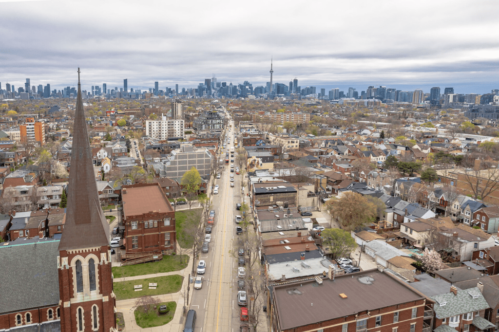
Finding Brockton on the Map
For 175 years, Brockton’s boundaries have shifted—from a 19th-century village to a lost municipality and now a loosely defined neighborhood. Historical maps show its changing shape, but today, Google Maps,… Read more ⇢
📓 Brockton Notes
A corner of the site where I’ll post short research updates and share thoughts about where the blog is going and what I’m working on.
